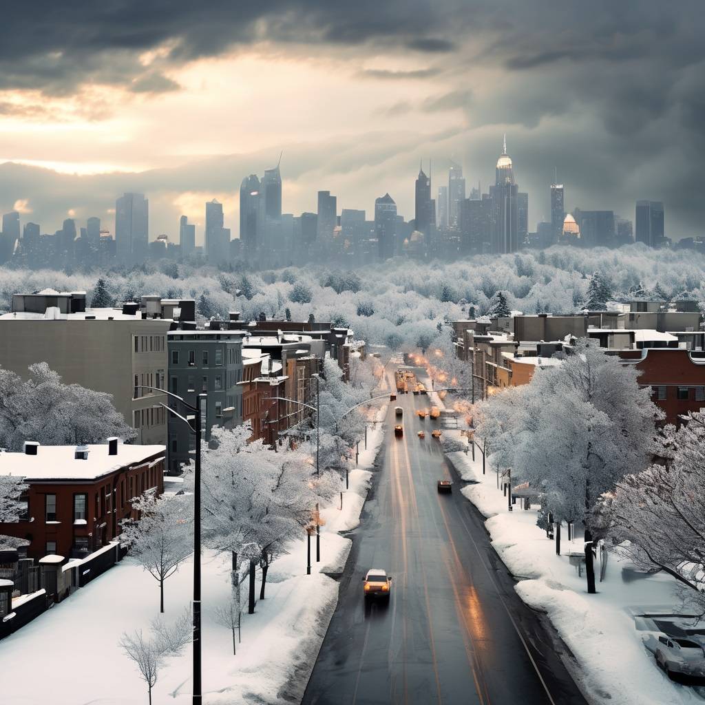
Transitioning from Storms to Wintry Conditions
Following a tumultuous evening characterized by hail, strong winds, and tornadoes, the Chicago area is now bracing for a return to more wintry weather conditions. The transition has begun, marking a shift from the recent severe storms to colder temperatures and potential snowfall.
Tornado Damage Investigation Areas
Areas affected by tornadoes during the recent storms, including near Hinckley, near Waubonsee Community College in Sugar Grove, in the Inverness/Schaumburg area, and along the shoreline in Gary, Indiana, are likely to undergo thorough investigations into the extent of the damage. The occurrence of a waterspout moving offshore in Gary adds to the list of locations where tornado-related damage will be assessed.
Temperature Plunge
Temperatures have plummeted into the 30s following the storms, with further drops expected into the 20s throughout the day. Despite the abrupt temperature decrease, today is noted to have started relatively warmer than normal, with the high occurring at midnight when temperatures were still in the low 50s.
Weather Outlook
Winds are forecasted to diminish as the day progresses, with any remaining advisory set to expire by 6 a.m. A few flurries may linger in the morning before skies clear in the afternoon. Tonight is expected to be clear and cold, with lows reaching the upper teens.
Subsequent Warmup
The return to more typical winter weather will be short-lived, as a warmup is anticipated to commence tomorrow. Highs are projected to climb back above normal, reaching the mid-40s. Friday will see temperatures in the low 50s, albeit cooler near the lakeside. Saturday is expected to be even warmer, with temperatures reaching the low 60s, followed by Sunday with temperatures around 70 degrees Fahrenheit. The next chance of rain is forecasted for Monday.
A Varied Forecast Ahead
The recent severe storms have given way to a shift in weather patterns in the Chicago area, as winter conditions reclaim their presence. However, this transition is not set to last long, with a notable warmup expected to follow in the coming days. Residents should remain vigilant in monitoring weather updates and prepare for the fluctuating conditions ahead.


Leave a Reply